
Gran Canaria Attractions: 15 Highlights
Gran Canaria attractions: 15 Highlights
Dunes, Roque Nublo, Las Palmas and the west coast with personal tips for route, hiking and travel time.
For me, Gran Canaria's attractions mean far more than just beaches and hotel promenades. During my two weeks on the island in January 2024, I explored by rental car and drone. The scenery was constantly changing: in the south, golden dunes lined the Atlantic coast; in the island's interior, winding roads led into a rugged volcanic highland; and on the west coast, deep ravines met steep cliffs. It is precisely these short distances between such diverse landscapes that make Gran Canaria a compelling destination for anyone wanting to combine a beach holiday, hiking, city exploration, and photography.
This overview organizes the most important Gran Canaria sights by region and interest. It is not a substitute for my detailed guide. Gran Canaria travelogue about dunes, volcanic craters and Maspalomas, but rather an independent planning tool: What goes together, where is more time worthwhile, and what differences between the south, highlands, west, and north should you be aware of?
Gran Canaria sights at a glance
Gran Canaria is often described as a miniature continent. While this might sound like a marketing slogan, it accurately captures the island's character. Within a relatively small area, you'll find arid coastal landscapes, rugged mountains, verdant valleys, and a vibrant capital city. The island is of volcanic origin; its altitude and trade winds also contribute to significant regional variations in weather and vegetation.
A list of the 15 most important sights on Gran Canaria is below. However, I wouldn't recommend using it as a checklist for a first trip. A more sensible approach is to divide the trip into four regions: Maspalomas and the south coast, the central highlands, Puerto de Mogán with the west coast, and Las Palmas in the northeast. This way, travel days remain manageable and allows enough time to truly appreciate each place.
- South: Maspalomas Dunes, Maspalomas Beach and Maspalomas Lighthouse
- Highlands: Roque Nublo, Pico de las Nieves and Barranco de Guayadeque, plus the Caldera de Bandama near Las Palmas
- Southwest and West: Puerto de Mogán, Barranco de Mogán and the coastal landscape towards Agaete
- Northeast: Las Palmas with Vegueta, Casa de Colón and Playa de Las Canteras
- Northwest: Agaete and the Valle de Agaete framed by the highlands
The 15 most important Gran Canaria sights at a glance
Maspalomas Dunes
protected dune field in the south
Playa de Maspalomas
long sandy beach between dunes and lighthouse
Maspalomas Lighthouse
Lighthouse at the end of the beach
Charca de Maspalomas
Lagoon and resting place for birds
Roque Nublo
Approximately 80-meter-high basalt rock at about 1,813 meters
Pico de las Nieves
high-altitude viewpoint in the highlands
Caldera de Bandama
volcanic crater near Las Palmas
Barranco de Guayadeque
deep gorge with green sides
Tamadaba Nature Park
Hiking among Canary Island pines
Puerto de Mogán
quiet harbor town with canals and bougainvillea
Barranco de Mogán
Gorge with red volcanic rock and palm trees
Valle de Agaete
protected valley in the northwest, where even coffee grows
Vegueta
Old town of Las Palmas with Santa Ana Cathedral and Casa de Colón
Playa de Las Canteras
City beach with offshore reef La Barra
Mercado de Vegueta
Market for Canarian specialties
Gran Canaria sights around Maspalomas
The Maspalomas dunes are among Gran Canaria's most famous sights. What struck me most at first sight was the stark contrast between the golden-yellow, wind-sculpted sand and the blue Atlantic Ocean. The dune area is a protected area. Therefore, respect is more important than the search for the supposedly perfect photo: stay on designated paths, observe barriers, and don't treat this delicate landscape as just another playground.
For photography, low-angled light alters the appearance of the dunes. Contours and shadows become more visible than in the flat midday sun. Those who venture out early will also experience a different atmosphere than during a typical beach day. Regardless of the subject, drone users must check the protected status, local restrictions, and currently designated flight zones on site. A beautiful perspective does not grant permission.
Playa de Maspalomas connects the dune landscape with the Maspalomas Lighthouse. This makes it easy to explore the area on foot without having to drive to each point individually. I would recommend packing plenty of water, sunscreen, and comfortable shoes that are suitable for warm sand. The open space offers little shade, and the wind can significantly affect the perceived temperature.
Gran Canaria sights on dunes, beach and lagoon
Besides the beach and sand, the Charca de Maspalomas lagoon is an integral part of the landscape. This lagoon is an ecologically sensitive area and a resting place for birds. Observation is best done from a distance. The appeal of this section lies precisely in the fact that several habitats are located close together: the Atlantic Ocean, the beach, the dunes, and the wetland.
Playa del Inglés is located in the same tourist-oriented region, but feels significantly more urban. Those seeking easy access to tourist infrastructure can use the south as a base. However, for me, the island's unique diversity only truly unfolds when a day spent at the coast is complemented by at least one excursion inland and one to the west or Las Palmas.
Sights in the volcanic highlands of Gran Canaria
In the center, Gran Canaria presents a completely different face. The roads climb into a mountainous landscape of deep ravines, cliffs, and sweeping vistas. My most striking destination there is Roque Nublo, an approximately 80-meter-high basalt rock at an altitude of about 1,813 meters. Even the approach makes it clear that distances on the map say little about the actual travel time: curves and elevation gain dictate the pace.
The hike from La Goleta is described in my travelogue as taking approximately one and a half hours round trip. The trail is technically relatively easy, but the altitude shouldn't be underestimated. Water, sunscreen, sturdy shoes, and an extra layer of clothing are essential items in my backpack. On clear days, the view can extend as far as Mount Teide on Tenerife.
Pico de las Nieves is also an important landmark in the highlands. The surrounding area offers sweeping views across the mountainous landscape. Those who prefer a crater to a viewpoint will find another volcanic attraction at the Caldera de Bandama near Las Palmas. The Barranco de Guayadeque, on the other hand, represents the island's deep ravines and greener regions.
Gran Canaria sights for hiking
For hikers, it's best not to cram several major destinations into a tight daily schedule. Altitude, changing weather, and winding roads all take time. The Tamadaba Nature Park complements the rocky panoramas with Canary pine forest. This alone demonstrates why a purely beach-centric description of Gran Canaria doesn't do it justice.
- Roque Nublo: striking basalt rock and scenic hike
- Caldera de Bandama: a volcanic crater contrasting with the coastline
- Barranco de Guayadeque: Canyon landscape with caves
- Pico de las Nieves: high viewpoint
- Tamadaba Nature Park: Hiking among Canary Island pines
Before every tour, I would check the current weather, trail conditions, and any access restrictions. The coast might seem pleasant, while clouds, wind, or cooler air characterize the highlands. These microclimates are part of the island's unique character and not a minor detail.
Gran Canaria sights on the west coast
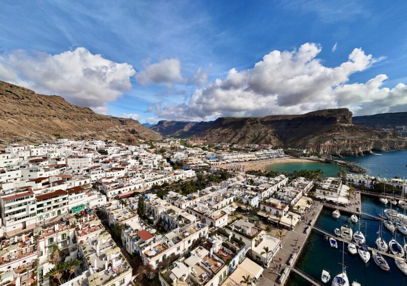
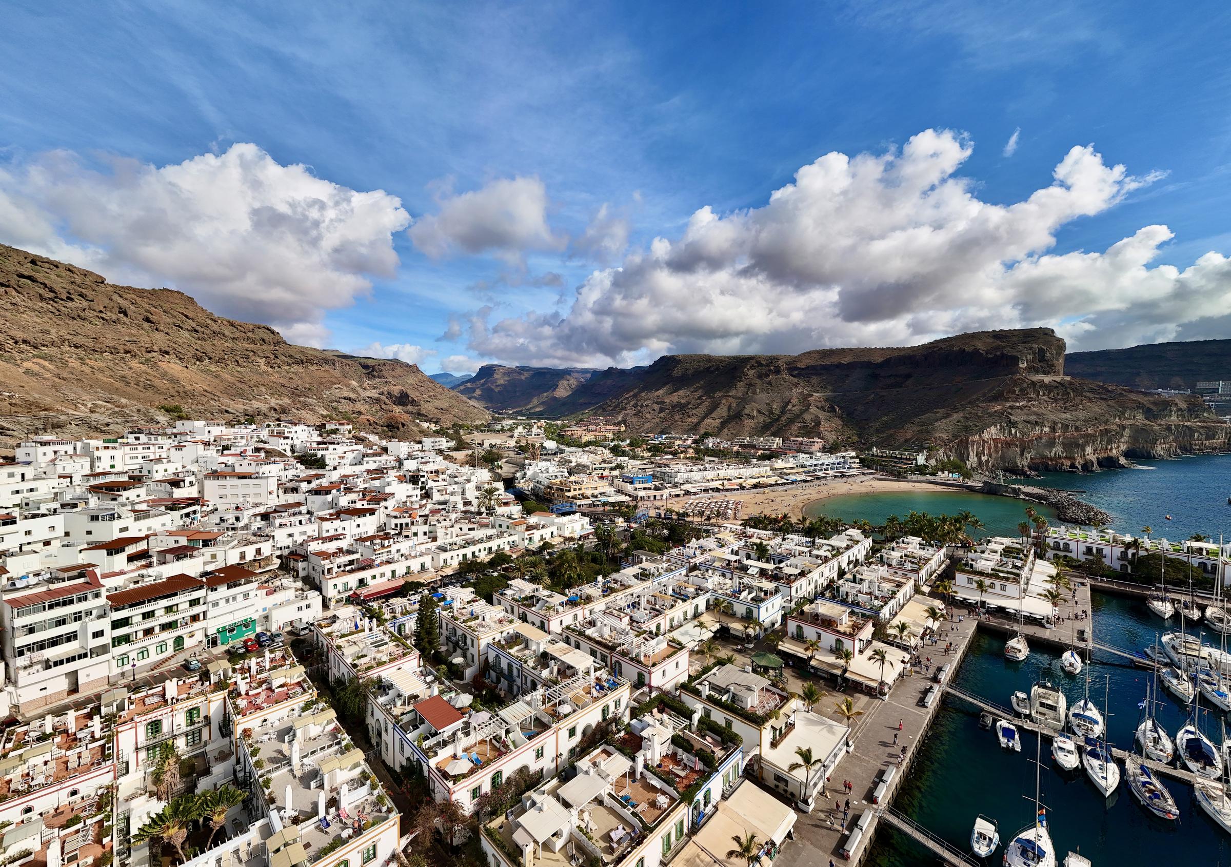
Puerto de Mogán offers a quieter, more colorful contrast to the large resorts in the south. Canals, pastel-colored houses, and bougainvillea characterize the area around the small harbor. The town is often called "Little Venice." I wouldn't just plan a quick photo stop there, but rather allow time for a leisurely stroll along the waterfront.
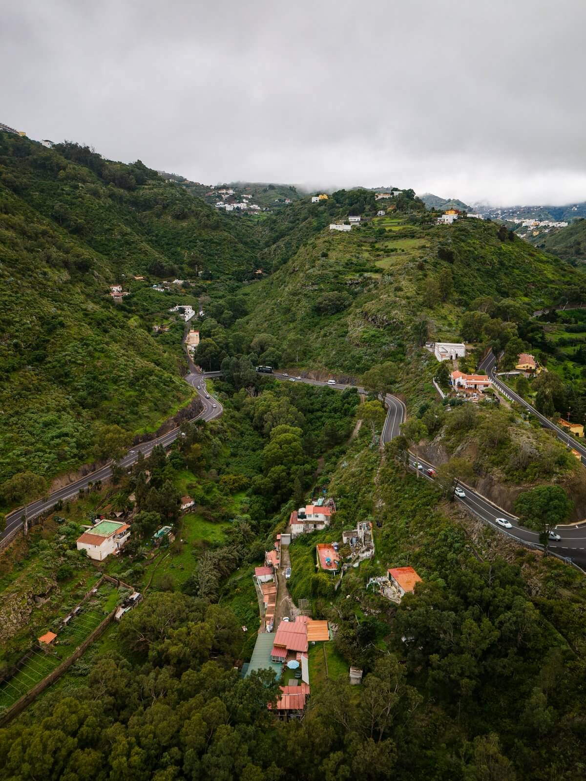
Beyond the coastal town, the Barranco de Mogán stretches towards the highlands. Red volcanic rock, palm trees, and natural rock formations characterize this ravine landscape. Further west, the coastal slopes become more dramatic. The route towards Agaete offers stunning views but demands attention due to the winding roads. Views and traffic shouldn't be the same focus at the same time: I only stop to admire the scenery at suitable, safe spots.
Agaete presents another contrast in the northwest. In the Valle de Agaete, a sheltered location and microclimate allow for lusher vegetation; coffee is even cultivated there. The area is interesting for route planning because it's where the coast, valley, and mountains meet. Those planning a trip along the west coast shouldn't rely solely on distances but rather opt for fewer stops, allowing for more leisurely experiences.
Gran Canaria sights between Mogán and Agaete
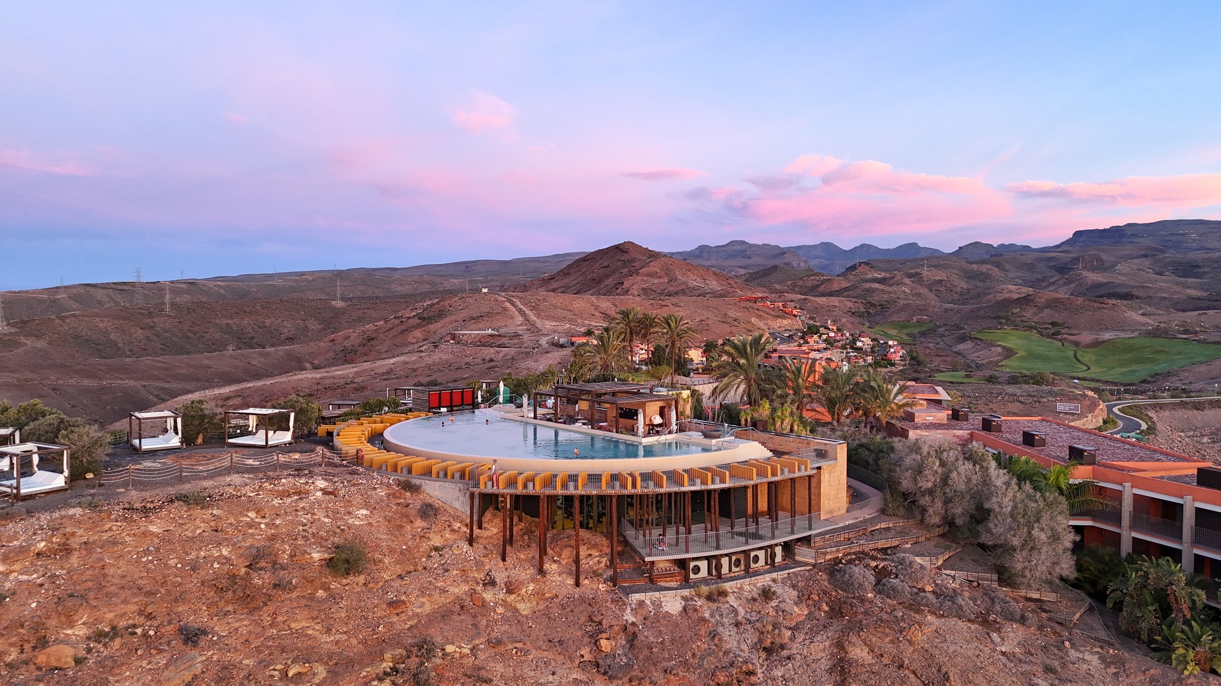
The west coast was particularly impressive for me in terms of scenery. From the air, the sheer scale of the cliffs and the contrast between the dark rock and the Atlantic Ocean became apparent. However, this personal experience does not mean that flying is permitted everywhere. Current aviation regulations, nature conservation laws, and local restrictions must be checked before any photography takes place.
For a day trip, I would combine Puerto de Mogán with a manageable stretch of coastline. A complete circumnavigation of the island sounds efficient, but leaves little room for spontaneous stops. Gran Canaria, in particular, rewards slower travel, as the light, clouds, and vegetation can change just beyond the next mountain range.
Gran Canaria attractions in Las Palmas
Las Palmas de Gran Canaria blends city life with the Atlantic Ocean. In the old town of Vegueta, historic buildings and squares tell the story of the city's long history. Among the well-known landmarks are the Santa Ana Cathedral and the Casa de Colón. The Mercado de Vegueta is also worth a visit if you'd like to discover Canarian products and experience the city's daily life.
On the other side of the city center lies Playa de Las Canteras. This long urban beach is partially sheltered by the offshore natural reef, La Barra. A promenade, restaurants, and surf schools make it an urban beach rather than a gated resort. I particularly enjoy this contrast: historic streets in the morning, the sea later, all without having to leave the city.
Typical dishes like papas arrugadas with mojo, gofio, goat cheese, and Canarian bananas add a regional touch to a day in the city. I avoid definitive restaurant lists, as establishments and offerings change. A visit to the market or a glance at a current daily menu is usually more helpful than an old, specific address.
Gran Canaria sights in Vegueta and Las Canteras
Those staying only in the south can plan a day trip to Las Palmas. Vegueta and Las Canteras are not directly adjacent; sufficient time should be allowed for both districts. The capital also demonstrates that Gran Canaria is not just about resorts. It is particularly suitable for travelers who want to combine architecture, city beaches, and local life in one day.
Select Gran Canaria attractions according to travel type
Not every Gran Canaria attraction is suitable for every trip. For a first visit, I would prioritize three areas: Maspalomas for its iconic landscape, the highlands for their volcanic origins, and either Las Palmas or the west coast for a third, distinct contrast. After that, you can expand your choices based on your interests.
- For landscape photography: Dunes of Maspalomas, highlands and west coast
- For light active days: a walk between the dunes, beach and lighthouse, as well as a tour of Vegueta.
- For hikes: Roque Nublo, Caldera de Bandama, Guayadeque and Tamadaba
- For city and sea: Vegueta and Playa de Las Canteras
- For a quieter harbor atmosphere: Puerto de Mogán
If you're still undecided between the islands, my Canary Islands guide to the perfect island. Gran Canaria is particularly diverse, while other Canary Islands are more focused on hiking, water sports, tranquility or volcanic landscapes, depending on their main focus.
Practical planning of Gran Canaria sightseeing
A rental car was the flexible solution for my trip, especially for the highlands and west coast. The main roads are well-maintained, but mountain roads can be narrow and winding. I planned conservatively there, drove during daylight hours, and allowed more time than a simple mileage estimate would suggest. Those who don't want to drive themselves should check current bus schedules and organized tours for specific destinations.
Gran Canaria is generally a year-round destination. The south is often drier, while the north and higher elevations can be cloudier and cooler. It's cooler in the mountains than on the coast, so layering your clothing is a good idea. A light jacket, sun and wind protection, and sturdy shoes will cover far more situations than just beach gear.
For planning your day, a simple rule helps: group destinations from the same region. Maspalomas gets its own coastal block, Roque Nublo and other highland spots a mountain day, and Las Palmas a city day. The west coast shouldn't be treated as a gap between two appointments. This leaves room in case clouds obscure the view or a place deserves more time.
Experience Gran Canaria's sights responsibly
Many of the most impressive places are also sensitive natural areas. Marked trails, buffer zones, and local information take precedence over photo opportunities. I take my trash with me; animals are not fed or harassed for photos. When flying drones, I check the latest official maps and regulations before every flight, instead of relying on older travel reports.
Tourism boards and destinations that wish to present such landscapes in a well-founded and visual way can find information at Collaboration with me for high-quality tourism board content Further information. My approach combines travelogue, photography, and a clear contextualization of the location, without artificially staging nature experiences.
Gran Canaria sights: my conclusion
Gran Canaria's strength lies not in a single attraction, but in its contrasts. The dunes of Maspalomas, Roque Nublo, Puerto de Mogán, the rugged west coast, and Las Palmas could almost be considered separate trips. However, with some regional planning, they can be effectively combined.
My two weeks in January 2024 showed me how quickly the landscape and atmosphere on the island can change. Anyone who judges Gran Canaria solely from a sun lounger is only seeing a small part of it. Take at least one day in the highlands and one day outside the southern resort area. It's there that a collection of well-known Gran Canaria sights will come together to form a complete picture of the island.
FAQ
Which Gran Canaria sights should one see?
For a first visit, I would choose the Maspalomas dunes, Roque Nublo, Puerto de Mogán, and Las Palmas with Vegueta and Las Canteras. This way you experience beach, volcanic landscape, port, and city without just stringing together similar places.
How many days do you need for sightseeing in Gran Canaria?
A week allows for a good initial overview if you focus on specific regions and don't try to crisscross the entire island every day. With more time, you can more easily add hikes, the west coast, and Las Palmas. I myself spent two weeks exploring Gran Canaria in January 2024.
Which Gran Canaria attractions are accessible without a rental car?
In Maspalomas and Las Palmas, several destinations can be easily combined with walking and public transport. For specific bus connections, you should check current timetables. For my flexible route through the highlands, west, and north, a rental car was particularly practical.
When is the best time to visit Gran Canaria's attractions?
Gran Canaria can be visited year-round. Milder months are pleasant for hiking, while beach days particularly benefit from the often drier conditions in the south. Always check the weather and wind conditions separately for the highlands, as they can differ significantly from those on the coast.
Which Gran Canaria attractions are suitable for hiking?
Roque Nublo, Caldera de Bandama, Barranco de Guayadeque, and the Tamadaba Natural Park offer diverse landscapes. Choose a route that suits your fitness level and the weather, check the current trail conditions, and bring water, sunscreen, sturdy shoes, and an extra layer of clothing.
Max Haase
Travel Content Creator · Drone Photographer · Visual Storyteller
Since over 10 years professional travel creator with over 4 million followers. Specializing in high-end tourism board collaborations and visual travel storytelling.
 German
 English