
Best places to fly drones in Europe: 20 top spots for 2026
The 20 best drone spots in Europe — From Lofoten to Santorini
As a drone travel creator and drone photographer in Germany, working in over 82 countries, I have a pretty clear opinion on where in Europe the most spectacular shots can be taken. I fly drones professionally—first the DJI Mavic Air, then the Mini 2, now the DJI Mini 5 Pro — and I've learned that the best spots are rarely the obvious ones. Sure, Santorini from above is impressive. But have you ever seen the Lofoten Islands in winter? Or the Faroe Islands during a storm? Or the abandoned villages in Albania?
- Basis of selection: My drone experience from travels in 82+ countries forms the basis for the 20 best spots in Europe.
- Northern Europe podium: Lofoten (Reine, Hamnøy) are number one; also Faroe Islands with Múlafossur, Trolltunga, Geirangerfjord and Lapland's Northern Lights from the air.
- Southern European classics: Santorini, Cinque Terre, Amalfi Coast and the Benagil Cave in the Algarve – iconic motifs with clear flight windows and rules.
- Insider tips & mountains: Kotor Bay, Meteora and Cappadocia's balloons provide variety; the Dolomites, Matterhorn, Tre Cime and Kjerag crown the mountain category.
- Practical tips for each spot: Each entry contains special features and practical tips; drone rules and airport checks are included before every flight.
In this guide, I share my 20 absolute favorites — sorted by region, with location highlights, information on drone regulations, and my personal tips for the perfect shot. I have personally flown and tested each spot.
Northern Europe — pure drama
1. Lofoten, Norway — The king of drone spots
The Lofoten Islands are the best drone spot in Europe. Period. The combination of rugged mountains plunging into the turquoise sea, the iconic red fishermen's cabins (rorbuer), and the light—midnight sun in summer, northern lights in winter—is unique. My favorite: Reine and Hamnøy from above, when the morning sun bathes the mountains in golden light.
Best time: September-October (autumn colors + chance of seeing the Northern Lights) or June-July (midnight sun). Drone laws: Norway allows drones under 250g without registration in most areas. Caution: Do not fly over nature reserves and not closer than 5 km to airports. The Lofoten Islands have a small airport near Svolvær — check your GPS coordinates before takeoff!
2. Faroe Islands, Denmark — Wild & Untouched
The Faroe Islands are what Iceland was 15 years ago—dramatic, sparsely populated, and completely unspoiled. The Múlafossur waterfall, plunging directly over a cliff into the sea, is one of the most iconic drone shots ever. Add to that Mykines with its puffin colonies and Trælanípa, the lake above the sea.
Best time: May-August (but even then: a rain jacket is mandatory). Drone regulations: Drones under 250g are exempt from permitting, but bird sanctuaries are strictly protected — Mykines drones require a permit and must be flown outside of the breeding season.
3. Trolltunga, Norway — The Tongue Rock
Trolltunga (the Troll's Tongue) is a rock outcrop that juts 700 meters above Lake Ringedalsvatnet. Filmed from above with a drone, it looks as if a stone tongue is growing out of the mountain. The hike there is 28 km long and challenging (10-12 hours) — but the drone footage makes any muscle aches worthwhile.
Best time: June-September (in winter only with a guide and winter equipment). Tip: Launch your drone flight BEFORE the rock overhang, not on it. Wind conditions at the edge are unpredictable.
4. Lapland, Finland — Northern Lights from above
Filming the Northern Lights with a drone is technically demanding (long exposures in sub-zero temperatures, battery management at -20°C), but the results are breathtaking. DJI Mini 5 Pro Night mode allows exposures of up to 2 seconds — enough to capture the Northern Lights. Store batteries in your jacket pocket instead of the drone until takeoff — at -20°C they lose 40% capacity in minutes.
Best time: October-March. Location: Inari or Saariselkä (low light pollution).
Southern Europe — Mediterranean Magic
5. Santorini, Greece — The Classic
Santorini is the most photographed place in Europe—and for good reason. The white houses with their blue domes, set against the backdrop of the volcanic caldera and the deep blue sea, are even more spectacular from the air than from the ground. My spot: Oia at sunset, when the sun bathes the white walls in golden and pink light.
ATTENTION — Greece has had strict drone regulations since 2023. Flights near archaeological sites (Acropolis, Delphi, Meteora monasteries) are prohibited. In Santorini, flying over Oia is theoretically permitted, but the authorities are vigilant. Drones under 250g do not require registration, but obtaining flight authorization via the HCAA app is recommended.
6. Cinque Terre, Italy — Colorful villages on the steep coast
The five villages of the Cinque Terre (Monterosso, Vernazza, Corniglia, Manarola, Riomaggiore) cling to the cliffs of the Ligurian coast like colorful Lego bricks. A drone shot from above is breathtaking. Each village has its own unique charm, but Manarola at sunset is the shot you'll want.
Italian drone law: Drones under 250g (category OPEN A1) do not require a permit. ENAC registration has been mandatory since 2024, even for sub-250g drones. Registration can be completed online in 5 minutes.
7. Amalfi Coast, Italy — Positano from above
Positano, with its pastel-colored houses cascading down the mountain to the sea, is a dream from above. The winding Amalfi Coast road stretches like a ribbon between mountain and sea. Ravello offers views across the entire coast. A drone paradise—when the wind is right (the cliffs generate strong updrafts).
April-May or September-October (fewer tourists, milder light). In summer the coast is so crowded that you'll hardly find a launch site.
8. Benagil Cave, Algarve, Portugal
Benagil Sea Cave is a vast sea cave with a natural skylight in its ceiling. When the midday sun shines vertically through the opening and illuminates the beach inside, it creates one of the most magical drone shots in the world. It is only accessible by kayak or swimming.
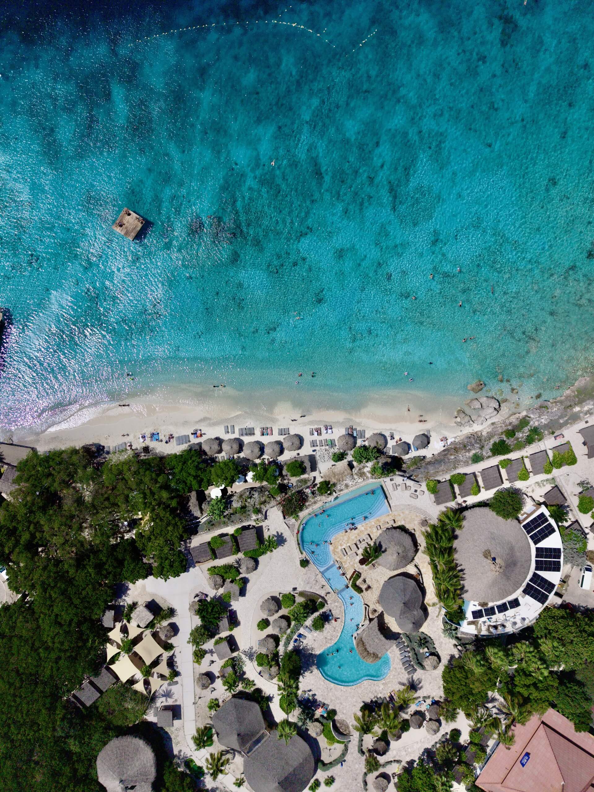
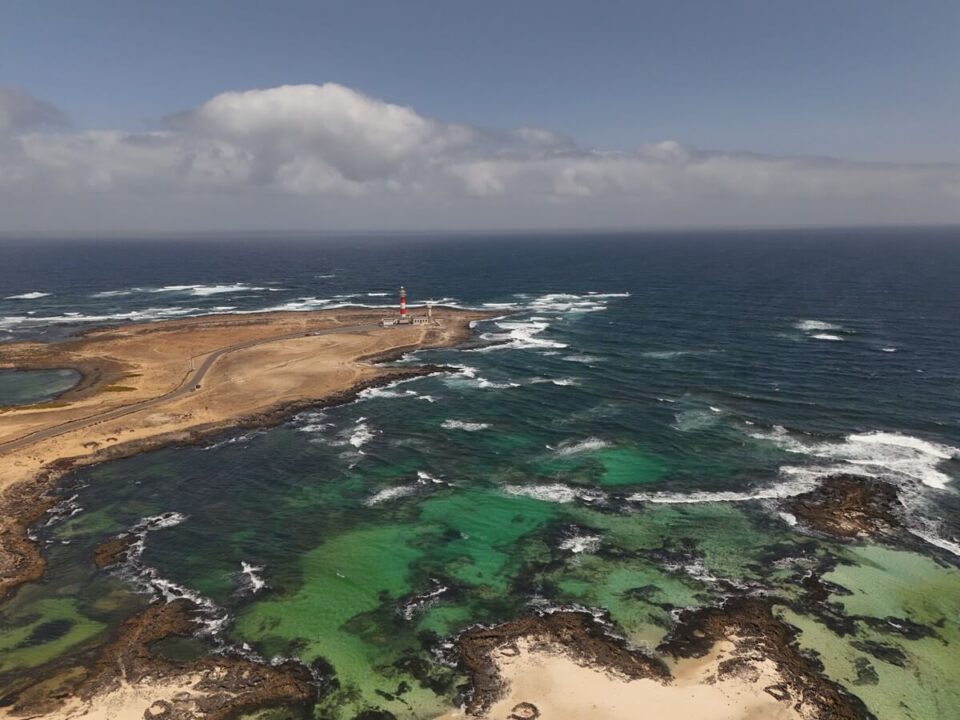
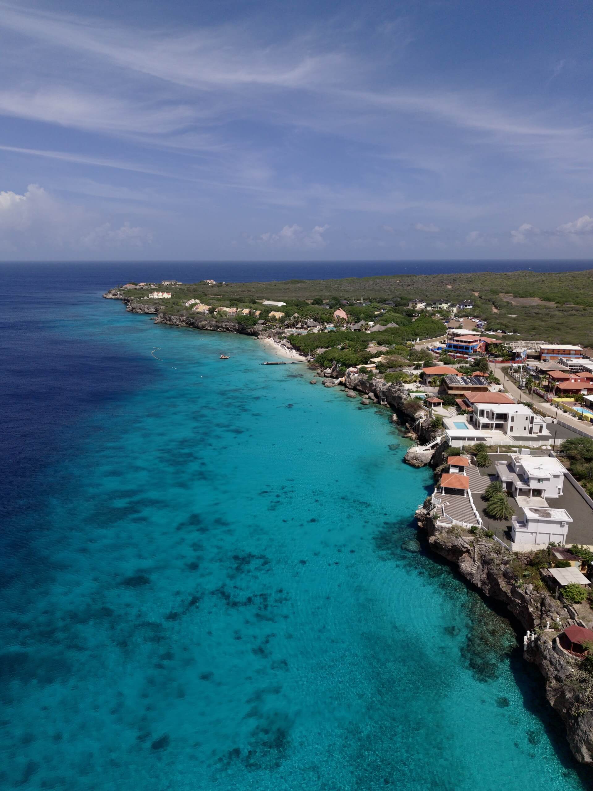
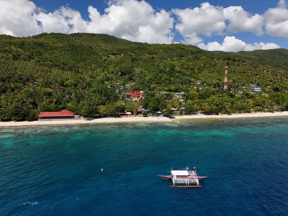
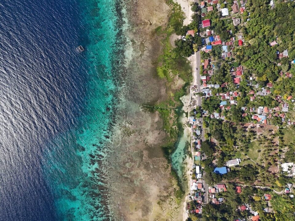
A small glimpse into the diversity of drone photography — aerial photographs from all over the world that show how different our Earth looks from above.

Central Europe — Hidden Gems
9. Plitvice Lakes, Croatia
Sixteen cascading lakes, linked by waterfalls, nestled in dense forest. From above: The varying shades of blue in the lakes (from turquoise to emerald green) are surreal. Note: Drone flights are officially prohibited in the national park—but you can zoom in from the surrounding hills outside the park.
10. Lake Bled, Slovenia
The small island with the church in the middle of the lake, the castle on the rock above, the Julian Alps in the background — a perfect drone shot. Best viewed in October during morning mist, when wisps of fog hang over the water.
11. Saxon Switzerland, Germany
Yes, Germany also has world-class drone spots. The Bastei Bridge and the rock formations of Saxon Switzerland look like a miniature fantasy landscape from the air. In autumn, with fog in the valleys and colorful foliage—better than some national parks in the USA.
Drone law: Prohibited in the core zone of the national park. Allowed on the edges and over the Elbe valley.
12. Neuschwanstein, Bavaria
Ludwig II's fairytale castle is even more impressive from above than from the ground. The Alps form a stunning backdrop, with the Alpsee lake shimmering beside it. However, drone flights in the immediate vicinity of the castle are prohibited (it's a protected historical monument and a no-fly zone). The best shots are taken from the Tegelberg mountain—about 2 km away, zoom in.
Atlantic Ocean & Islands
13. Madeira, Portugal — Cliffs meet rainforest
Madeira boasts the most dramatic coastline in Europe: 580-meter-high cliffs (Cabo Girão, the second highest cliffs in Europe), levada trails winding through laurel forests, and villages clinging to vertical rock faces. From above, the contrast between the lush green rainforest and the black lava coast is breathtaking.
14. Azores, Portugal — Volcano craters & whales
Sete Cidades on São Miguel — a twin crater lake (one green, one blue) — is THE drone shot of the Azores. Also included: whale watching from above, hot springs on the beach, and a landscape that looks like the Shire from Lord of the Rings.
15. Fuerteventura, Canary Islands — Desert meets Atlantic
The dunes of Corralejo, the endless beaches in the south, the lava fields inland — Fuerteventura from above looks like Mars with a beach. Perfect for drones: little wind shadow, hardly any flight restrictions, flyable year-round.
Eastern Europe & the Balkans — The insider tips
16. Bay of Kotor, Montenegro
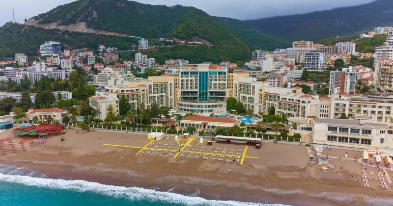
The Bay of Kotor is Europe's southernmost fjord — and a dream from above. The old town of Kotor at the end of the bay, the winding road up the mountain, the small island of Sveti Stefan off the coast.
17. Meteora, Greece
Monasteries perched atop 300-meter-high sandstone cliffs—from the air, they look as if they're floating. Even more surreal when the valley below is shrouded in mist. Drone flights over the monasteries themselves are prohibited, but you can get perfect shots from the surrounding viewpoints.
18. Cappadocia, Türkiye — Hot air balloons from above
200 hot air balloons above the fairy chimneys at sunrise—filmed from above with my drone, this is one of the most surreal images in the world. It's best to launch the drone BEFORE the balloons (around 5:30 a.m.) and stay at altitude.
19. Albanian Riviera
Ksamil, Himarë, and the Llogara Pass are Albania's best-kept secrets. Turquoise waters like in the Caribbean, no drone regulations (completely free in 2024), and a fraction of the tourists compared to Croatia or Greece. My insider tip for 2025.
20. Transylvania, Romania — Dracula's Land from above
The Carpathian Mountains in autumn, medieval fortified churches in mist-shrouded valleys, bears in forest clearings—Transylvania is a drone photographer's dream. The Transfăgărășan Pass road (which Jeremy Clarkson called the most beautiful road in the world) filmed from above is guaranteed to go viral. Best time: September-October, when the forests explode in red and gold.
Equipment & Drone Law — What you need to know
| drone | Weight | Price | My rating |
|---|---|---|---|
| DJI Mini 5 Pro | 249g | ~850 € | My daily driver — under 250g = less regulation |
| DJI Air 3 | 720g | ~1.100 € | Dual camera, better in windy conditions, but registration required. |
| DJI Mavic 4 Pro | 958g | ~2.200 € | Professional image quality, 3 cameras, Hasselblad sensor |
My top 5 tips for better drone photos
80% My most successful drone photos were taken in the hour after sunrise or before sunset. The warm, flat light creates long shadows, dramatic colors, and a depth that is impossible in midday sun. Get up early—the best shots are taken between 5:30 and 7:00 a.m.
2. Fly higher AND lower than you think. Most drone pilots fly at 50-100 meters—the standard. But the most spectacular perspectives are either very high (120m, the maximum flight altitude in the EU) or very low (5-10m above the ground/water). Flying low over water creates dramatic reflections and textures that aren't visible from above.
3. Move the drone while recording. Static drone photos are fine, but drone videos with slow, fluid movement (orbit, dolly, reveal) are great. The DJI Mini 5 Pro has QuickShot modes that do this automatically—use them. A 15-second orbit around a lighthouse at sunset beats any static photo by a mile when it comes to social media engagement.
The world looks different from above. Fields, roads, coastlines, harbors—everything has patterns and symmetries that are invisible from the ground. Train your eye for this "top-down aesthetic." The best drone photographers don't think in 3D like a photographer, but in 2D like a graphic designer.
5. Know your limits (and your drone's). Wind over 35 km/h? Stay grounded. Battery below 30%? Return immediately. No GPS signal? Don't take off. In six years of flying drones, I've only lost one—because I was flying over the sea in too much wind, and the storm pushed it out onto open water. Since then, I've been more conservative, and paradoxically, my footage has improved. Less risk equals more focus on composition.
Which drone footage is suitable for which subject?
In short: Europe's drone footage differs primarily in its visual language: In the Algarve, golden cliffs and blue water dominate; on Madeira, steep coastlines and volcanic formations prevail; and on the E5, lakes and mountain slopes take center stage. In Bodrum, by contrast, bays, white villages, harbors, and boats combine to create clear Mediterranean compositions.
For a targeted selection, a ranking isn't enough; the question of the desired motif is crucial. Ponta da Piedade displays a complex network of rock pinnacles, arches, and grottoes. At Praia da Marinha, a double arch formation dominates the view, while the glimpse through the opening in the ceiling of the Benagil cave unites sea, rock, light, and the small sandy beach. Madeira has a distinctly more vertical character: on the north coast, the road, high cliffs, and the Atlantic Ocean run parallel to one another; near Porto Moniz, natural lava pools create a further contrast.
| Spot | Main theme | Image effect |
|---|---|---|
| Ponta da Piedade | Rock needles, arches | multifaceted |
| Praia da Marinha | double bow | iconic |
| Madeira's north coast | Cliffs, road | dramatic |
| Lake Seewisee | Lake, reflection | quiet |
| Bodrum | Bays, boats | Mediterranean |
In the Alps, the landscape itself becomes a graphic structure. The suspension bridge in the Trettach Valley forms a geometric motif above the gorge; Lake Seewisee reflects its surroundings, and Lake Vernagt lies turquoise between steep mountain slopes. Thus, even before the trip, one can decide whether the photograph should focus on shapes, color contrasts, reflections, or spatial depth.
Atlantic coast comparison: Algarve or Madeira?
The Algarve and Madeira share the Atlantic Ocean as their backdrop, but from the air, they present two very different landscapes. On the Algarve, warm sandstone tones, deep blue ocean, and turquoise shallow bays define the color palette. Ponta da Piedade offers ever-changing views of rock pinnacles, natural arches, and hidden grottoes. Praia da Marinha features a striking double arch formation, while Benagil offers a vertical view through the circular opening in the cave ceiling to the beach inside. Between Carvoeiro and Armação de Pêra lie further hidden coves.
Madeira's north coast presents a wilder, more rugged landscape. The ER101 winds its way between high cliffs and the Atlantic; from the air, the relationship between road, rock, and sea is particularly striking. Near Porto Moniz, natural lava pools, fed by the sea, lie along the coast. Cabo Girão, at 580 meters high, offers a dramatic view of the Atlantic. Ponta de São Lourenço presents a completely different scene: red volcanic rocks meet turquoise waters.
Even away from the open coast, Madeira offers unique subjects. Funchal nestles against the coast like an amphitheater, allowing the city and harbor to be captured in a single photograph. In the Fanal Forest, gnarled old laurel trees stand shrouded in mist. Those planning a bright, graphic coastal series will find stronger gold-blue contrasts in the Algarve; for volcanic formations, steep dimensions, and the interplay between city, coast, and forest, Madeira offers more contrasts.
From top-down shots to panoramas: Planning perspectives
A good spot offers not just a landmark, but a perspective that makes its form legible. On the E5 trail, the turquoise water near Spielmannsau lends itself to a top-down shot in the moss-covered gorge. The suspension bridge in the Trettach Valley reveals its clear geometry from above. At the Seewisee lake near the Memminger Hütte mountain hut, reflections take center stage, while the Braunschweiger Hütte mountain hut and glacier offer a panoramic view of the Ötztal Alps. The Vernagt reservoir, in turn, works through the color contrast between its turquoise water and steep mountain slopes.
Along the coast, lines and planes serve the same purpose. In Bodrum, at Yalıkavak Marina, the approach and the mountains frame the scene. Gümüşlük connects a small bay with submerged ruins; in Türkbükü Bay, hotels and yachts create a bird's-eye view. Out at sea, a catamaran establishes a single point of reference between the water and the coastline. Bodrum Castle and the harbor together form the classic cityscape of the peninsula.
The lighting concept can also arise from the subject matter. For the golden cliffs of the Algarve, the early morning hours or the time just before sunset are ideal. Lake Seewise is suitable as a subject at sunrise, Bodrum Castle and harbor in the early morning. In Gümüşlük, the high angle of the sun makes the bay stand out, while Türkbükü Bay works best in the light of sunset. Therefore, planning doesn't begin with a fixed time of day, but rather with the question of whether color, reflection, geometry, or spatial layering should define the image.
Related to this: Drone Spots South America, Kitesurfing in the Algarve, Edit drone footage.
For Tourism Boards and brands: If you want to showcase a destination like this with your own travel content, you can find information about the process and services on the website. Book a Travel Content Creator.
FAQ — Flying drones in Europe
Do I need a drone pilot's license in Europe?
For drones under 250g (category OPEN A1): In most EU countries, you have needed the EU Certificate of Competence A1/A3 since 2024 — an online test that you can pass in 30 minutes. It's free and available through your country's aviation authority (in Germany: LBA). For heavier drones, you also need the A2 license (in-person exam).
Where am I allowed to fly?
Generally speaking: Avoid flying over crowds, near airports (1-8 km depending on the country), over military installations, and over nature reserves (country-specific). Apps like "DJI Fly" and "AirMap" show you in real time where you are allowed to fly. My tip: ALWAYS check the local app on site—the rules are constantly changing.
What is the best drone for travel photography?
DJI Mini 5 Pro. Under 250g (less regulation worldwide), 1-inch sensor (good image quality even in low light), 4K/60fps video, obstacle avoidance in all directions, and fits in any jacket pocket. The perfect travel drone for all content creators.
How can I avoid trouble with the authorities?
Rule number 1: Be invisible. Fly early in the morning or late in the afternoon when there are few people around. Launch discreetly and avoid flying over beaches, promenades, or tourist attractions with large crowds. If someone (police, security, residents) approaches you: Be friendly, show the drone, and explain what you're doing. In 951,100 cases, the reaction is positive if you are polite.
Drone insurance — do I need it?
Yes, liability insurance for drones is mandatory throughout the EU—even for models under 250g. In Germany, it's available from around €40 per year through Allianz or Helden.de drone insurance. This covers personal injury and property damage. Without insurance, you risk fines of up to €50,000. Some personal liability insurance policies include drones under 250g—check with your insurer.
Where do particularly strong gold-blue contrasts occur?
In the Algarve, golden sandstone cliffs meet the deep blue Atlantic and turquoise shallow bays. Ponta da Piedade, in particular, combines these colors with rock pinnacles, arches, and grottoes.
What aerial views of Madeira do you find interesting?
Madeira combines the steep north coast, the ER101 road, lava pools near Porto Moniz, and red volcanic rocks at Ponta de São Lourenço. Funchal, with its city and port, and the laurel trees in the Fanal Forest also contribute to its appeal.
Which E5 spots are suitable for geometric shots?
The suspension bridge in the Trettach Valley is the most obvious geometric motif. The gorge with its waterfalls near Spielmannsau also offers a top-down perspective.
Where can reflections and mountain panoramas be photographed?
The Seewisee lake near the Memminger Hütte is perfect for capturing reflections at sunrise. At the Braunschweiger Hütte, a panoramic view opens up across the Ötztal Alps, including the glacier.
What motifs characterize Bodrum?
Bodrum combines turquoise sea, white villages, and green hills. Specific subjects include the castle and harbor, the entrance to Yalıkavak Marina, Gümüşlük Bay, Türkbükü with its yachts, and a catamaran off the coastline.
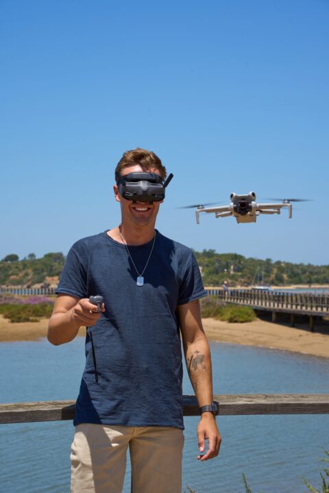
Max Haase
Travel Content Creator · Drone Photographer · Visual Storyteller
A professional travel creator for over 10 years with over 4 million followers. Specializing in high-end tourism board collaborations and visual travel storytelling.
 German
 English